Drones · New capability
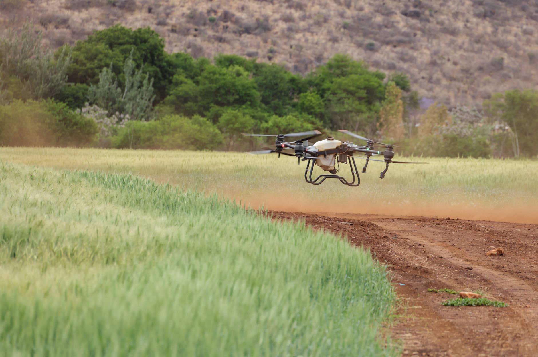
NextGrow is bringing drone-based field intelligence to the platform — so farmers can check soil and crop health, spot moisture and stress, and target real soil testing where it matters most.
Why from the air
Walking a farm shows you one row at a time. A drone pass shows the whole field at once — where the crop is thriving, where it’s struggling, and where the soil needs attention — so decisions are made on evidence, not guesswork.
Crop & farm health
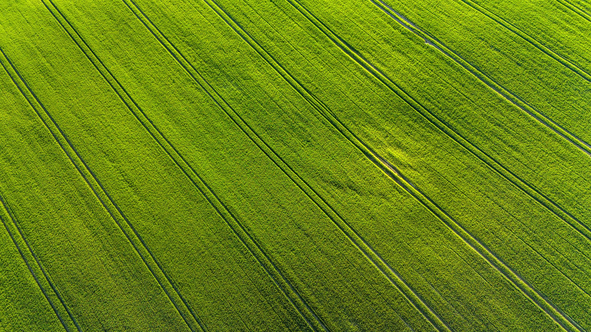
Aerial imagery reveals how a crop is doing across the whole field — healthy stands, weak patches and stressed areas that are easy to miss from the ground. Catching a problem early is the difference between a treated patch and a lost season.
Soil & moisture
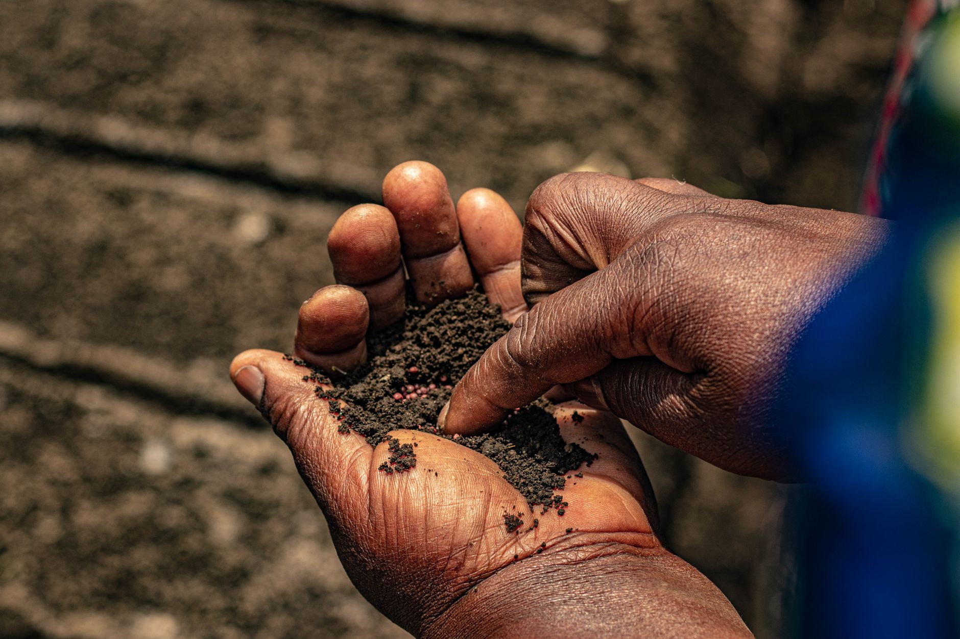
Drone passes help map moisture and stress across a field, and point to the spots worth a proper soil test on the ground — so real testing is focused where it counts, and irrigation and inputs go where the soil actually needs them.
Part of the platform
Drone findings are meant to live where the rest of the farm does — tied to the plot record in the Farmers Edition and, where it helps, routed to an agronomist recommendation. So a reading in the field turns into a clear next step, not a report nobody reads.
Rolling out
We’re building this into the platform now. If aerial soil and crop intelligence would help your farms, talk to us about early access — we’ll be honest about what’s ready today and what’s coming next.
Book a walkthrough and we’ll show you how NextGrow ties field, soil and crop data together — and where drones fit in.
Request a demo